

Construction Progress Monitoring
High-Resolution Site Documentation & Aerial Intelligence for Southwest Michigan
Visual Intelligence on Schedule
We track site developments with precision. By providing consistent, **orthomosaic spatial mapping overlays**, we keep remote stakeholders aligned, reduce layout errors, and document your complete site lineage from earthwork to closeout.
Aerial Progress Monitoring & Mapping
Keep your construction projects running smoothly and transparently. Creative Aerial Media supplies actionable site data that improves communication between project managers, sub-contractors, and out-of-state investors.
- 2D Orthomosaic Overlays: Measurable, top-down high-res orthophotos of the active site map.
- As-Built Asset Tracking: Historical photo records verifying utility placements before pouring concrete foundations.
- Executive Stakeholder Presentations: Polished 4K cinematic highlight videos capturing key build milestones.
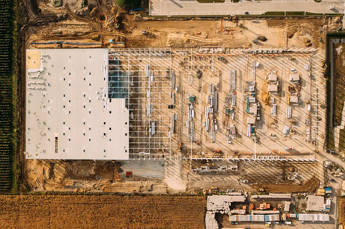
Site Orthomosaic Mapping
High-resolution top-down stitching designed for precise site overview tracking, grading assessments, and material location monitoring.

Milestone Tracking & Media
Clean visual assets showing project growth to keep your timeline on track, mitigate risks, and enhance marketing reach.